“The world is a book and those who do not travel
read only one page.”
St. Augustine.
¿What does the journey include?
Please send us an e-mail to info@socompa.com or fill the form
7 Days program
Salta | Arrival
Estimated driving time 15 min.
7 km / 4 ml paved road.
Salta 1.200 m. / 3.937 f.

Gourmet dinner.
Our guide will welcome you at the airport upon arrival to the colonial city of Salta in Northwest Argentina, surrounded by mountains and the green Valle de Lerma valley.
Salta is a town well known for the friendliness of its people and for having the best conserved hispanic architecture in the country.
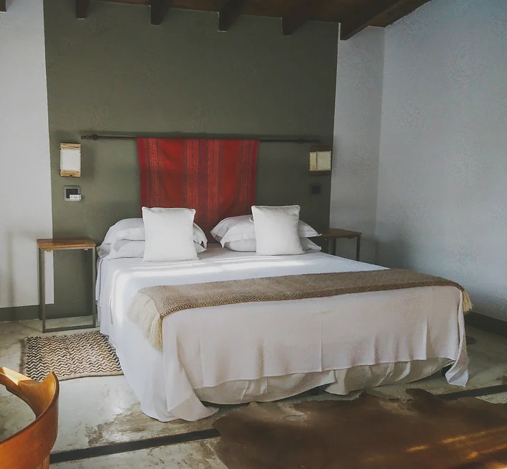
Transfer to Finca Valentina, a charming country house at the foothills of the Andes. According to the time of arrival of your flight you can enjoy the activities that the hotel has to offer, or simply spend the afternoon at the beautiful garden with pool. Gourmet dinner is included.




7 Days program
Salta | National Park Los Cardones | Cuesta del Obispo | Cachi
Estimated driving time 4 hs.
132 km /82 ml paved road. 40 km / 25 ml gravel road.
3.457 m. / 11.342 feet. Cachi 2.500 m. / 8.200 feet.

Breakfast and lunch.
The road between Salta and Cachi is one of the most spectacular routes in Northwest Argentina, it crosses four different ecosystems, going from a green jungle area (the Yungas) to a semi-desert area that characterizes the Calchaquí Valleys.
The mountain path will bring us closer to Piedra del Molino pass, a massive granite rock formation reaching a height of 11,811 feet (3,600 m). During the trip, you can see the condor flying over the blue mountain sky, guanacos and wild donkeys among thousands of cardones, the local species of giant cactus.
We will have time for a walk in Los Colorados desert and in Los Cardones National Park. We will spend the night at the foot of the Nevado de Cachi, where La Merced del Alto Hotel stands out over the picturesque valley surrounded by hills, rivers and streams. Dominating from the top, its views invite you to explore the Calchaquíes Valleys or simply to enjoy the tranquility and silence of the place.
Optional trekking activity (not included in the price)
Trekking “El Torreón de la Cuesta”


7 Days program
Cachi | Cuevas de Acsibi | Road of the Artisans | Siilu Wasi
Estimated driving time 3 hs.
100 km / 62 ml gravel road.
Highest point 2.400 m / 7.874 f. Payogastilla 1.980 m. / 6.496 f.

Breakfast, pic nic, diner
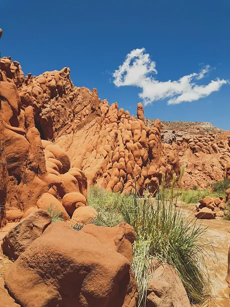
The Acsibi Caves are a stone and clay formations in a canyon located in one of the biggest private Finca’s of Salta in the surroundings of the little town of Seclantás, known for its textile artisans.The trekking is lead by local guides that know the area very well and that have created an amazing trail in the wilderness. The history of the land of Acsibi goes back to Pre-Inca times when the mountains were the home of the Malcachiscos natives who fought bravely against the Spanish conquerors. The area of Acsibi also became part of the Inca Trail known as Capac Ñam during the short occupation of this region by the Inca Empire just before colonial times. To reach the starting point of the trekking we will drive 16 km on the river bed to Valle de las Cuevas and from there start a five hour hike among the most spectacular shaped rocks of an intense red color, climbing up a river canyon.
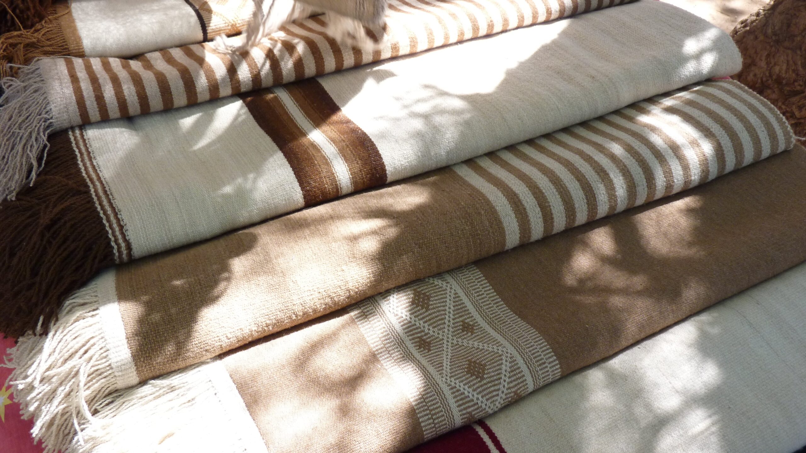
We will enjoy a picnic in a nice spot with a view of the surrounding mountains and return to Seclantás in the afternoon to visit the Road of Artisans, a few “ranchos’ ‘ of local handcrafters and weavers that make the best Argentine Ponchos with natural dyes for the wool, all handmade in craft looms. They also have beautiful shawls and covers. Night at Siilu Wasi glamping site in the small location of Payogastilla.
Hiking to “Cuevas de Acsibi Canyon”
Distance: 5 km (4 hs.), +/- 250 mts / 820 feet
Terrain details: earth path – moderate uphill. Difficulty level: moderate. Notes: Suitable for children older than 6 years old.





7 Days program
Glamping Siilu Wasi | Quebrada de las Flechas | Cafayate.
Estimated driving time 2 hs.
52 km / 32 ml paved road. 20 km / 12ml gravel road.
highest point 2.300 m./ 7.546 f. Cafayate 1.683 m. / 5.522 f.

Breakfast and lunch.
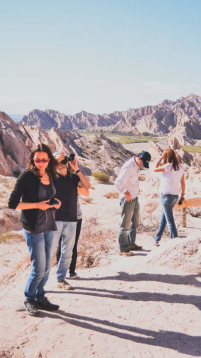
Along the mythical route 40 is possible to find little villages populated by local winemakers and farmers. Today we will drive across Quebrada de las Flechas, a desert formed by dust of limestone and quartz, eroded by wind and water creating the shape of thousands of Arrow Peaks.
In Cafayate, we’ll enjoy a visit to Burbujas de Altura winery including a homemade lunch paired with wines of local boutique production.
After lunch check in at the Viñas de Cafayate Wine Resort Hotel. At Sunset, we recommend an optional photo safari to Quebrada de las Conchas or to the sand dunes.


7 Days program
Cafayate | Quebrada de las Conchas | Salta.
Estimated driving time 3 hs.
180 km / 111 ml paved road.
highest point 1700 m. /5.577 f. Salta 1.200 m. / 3.937 f.

Breakfast and lunch.
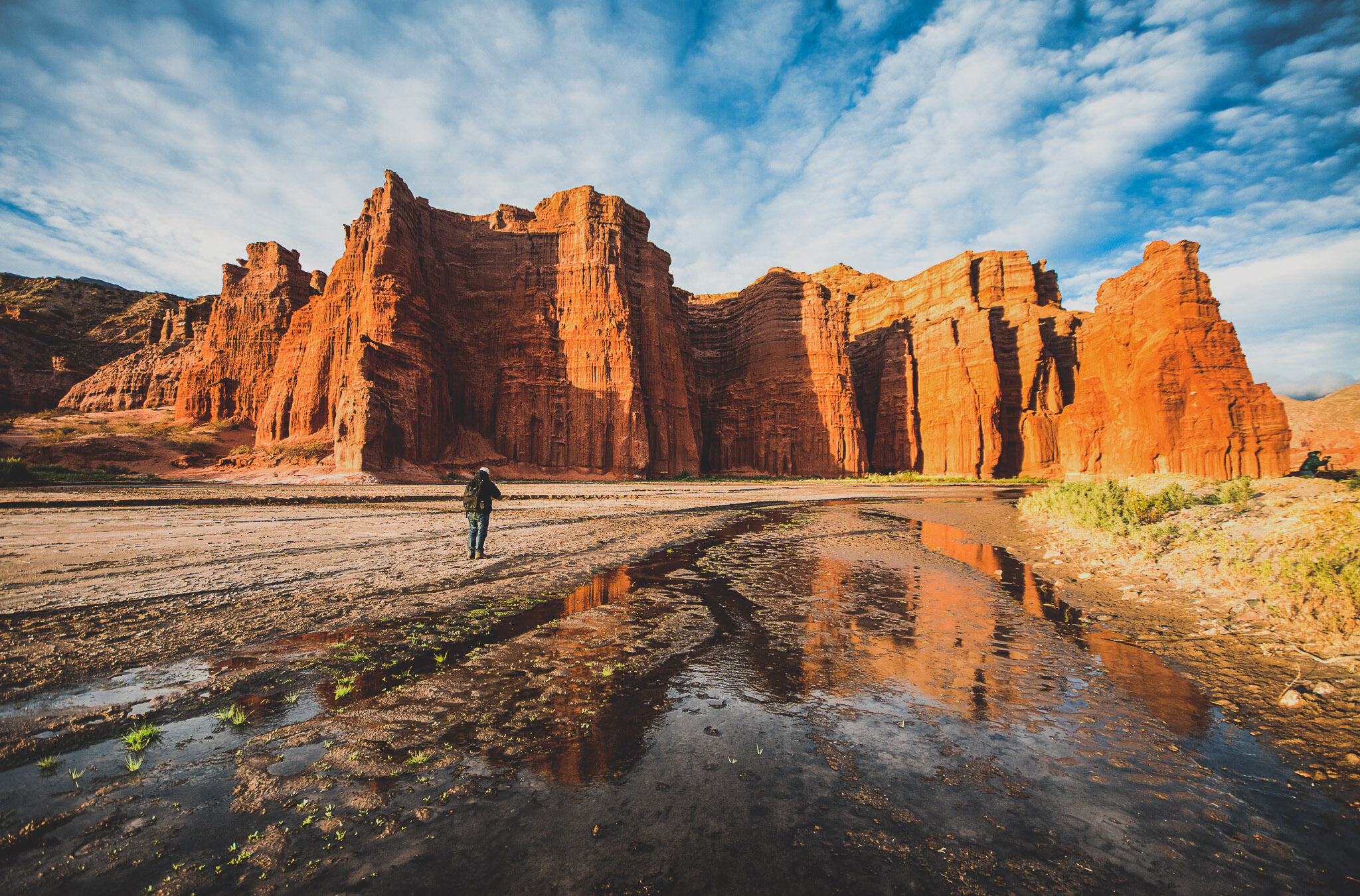
The Canyon of Quebrada de las Conchas is a Natural Heritage Site formed by sediments from the Mesozoic and Cenozoic Eras (90 to 60 million years ago).
The intense red color is present due to the ferric oxide contained in its mineral basins. The name of the gorge is given by the marine fossils found along the region in the oldest formation of the region known as “Formación Yacoraite”.
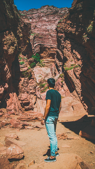
To appreciate the rich geology of the formation we will take a walk along a path that is well known by the local villagers. We will be in the heart of the gorge and enjoy amazing views of the colorful geological strata. We will have a nice picnic for lunch and afterwards we’ll drive to Salta and visit the northern region of the Canyon.
Hiking “Quebrada de las Conchas”
Distance: 3 km (2 hs.),+/-300 mts /984 feet
Terrain details: earth track – uphill/downhill. Difficulty level: easy to moderate. Note: Suitable for children older than 6 years old




7 Days program
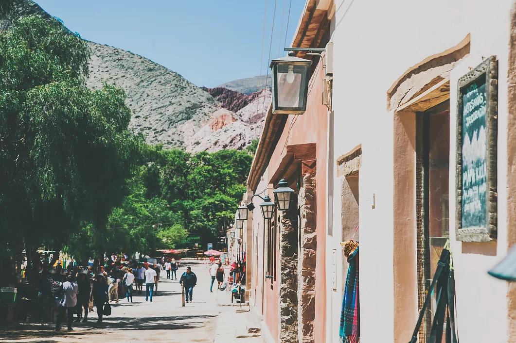
Salta | Purmamarca | Cuesta de Lipán | Salinas Grandes | Purmamarca
Estimated driving time 6 hs.
365 km / 227 ml paved road.
Highest point 4.170 m / 13.681 f. Purmamarca 2.192 m. / 7.192 f.

Breakfast and lunch.
The Humahuaca Gorge is a large valley that ends at the border with Bolivia and it is located in the province of Jujuy in the far north of Argentina. It is quite a young Valley, given that its formation dates a million years old.
The Gorge is famous for its colorful mountains, its geological formations and its historical villages. At Sunset, we will drive towards the intriguing Salinas Grandes (Salt Flats), one of the most beautiful landscapes in the Puna. The shiny white surface of the salt flats contrasts with the blue sky, and the horizon disappears providing the opportunity for taking fun perspective photos.
The salt flat extends over 30,000 acres and it is surrounded by some of the most impressive peaks of the Andean Volcanoes and Mountains, such as Tuzgle and Chañi. We will visit the small salt mines and pools and learn about the local culture.





Purmamarca | Uquía | Hornocal | Salta
Estimated driving time: 6 hs. | Distance: 390 km / 242 ml paved road. 70 km / 43 ml gravel road. | Altitude: Highest point 4.300 m./ 14.108 f. Salta 1.200 m. / 3.937 f. | Meals Included: Breakfast and lunch.
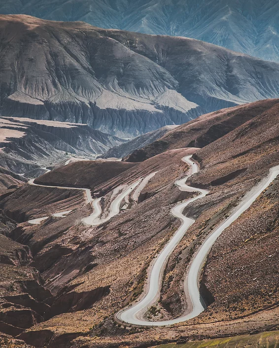
Driving North on Route N9 we will come across the picturesque town of Uquia, often known for its art series “Arcángeles Arcabuceros” of the “Escuela Cusqueña” located in the local Church of San Francisco de Paula (1691). However, a hidden treasure lies just a few kilometers behind the village of which can only be discovered on foot; the stunning landscape known as ‘Las Señoritas Gorge’. After the hike we will enjoy a homemade lunch made with locally grown products in a regional restaurant. Later, we will head off on another adventure, off the beaten track to Serranías del Hornocal, a hidden gem and impressive Mountain Range located in a secluded Valley by the town of Humahuaca. There we will find a viewpoint to enjoy the amazing rainbow colored mountains before returning to Salta in the late afternoon.
Hiking “Las Señoritas” (Uquía, Quebrada de Humahuaca)
Distance: 5 km (2 1/2hs.),+/-200 mts /656 feet
Altitude at starting point: 2.800 m. Altitude at the highest point: 3.000 m.
Terrain details: earth track – uphill/downhill. 200m. incline.
Difficulty level: easy to moderate.
Note: Suitable for children older than 6 years old.


